top of page
Catalogue
North American Collection
World Collection
About
Surveyors & Chart Makers
Research Locker
Logbook
Contact Us
More
Use tab to navigate through the menu items.
Sort by
Load Previous
A124 - A Plan of the Sea Coast from Little Rocks near Hampton
A125 - Plan from Ogunkett river to Cape Elizabeth
A126 - A Plan of Piscataqua Harbour
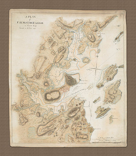
A127 - A Plan of Falmouth (Portland) Harbor in Casco Bay
A200 - A sketch of the operations of his majesty's fleet and army... in 1776
A201 - Plan of the City of New York in North America
A202 - New York 1776 showing Manhattan with military dispositions marked
A203 - A chart of New York Harbour with soundings
A204 - A plan of the Operations of the King's Army
A205 - New York, New Jersey, 'Pensilvania', Maryland and North Carolina & co.
A206 - A plan of Fort Montgomery & Fort Clinton
A207 - Oyster & Huntington Bay, Long Island Sound with inset of Hell's Gate
A209av - 5 views of New York Harbour (color)
A209bv - 5 views of New York Harbour (uncolored)
A210 - Long Island with the Environs of New York and Southern Connecticut
A211 - Block Island, Gardiners Island, Fisher Island & Sound copy
A212 - Plan of New York Harbour and part of North River in 1776
A213 - Lake Champlain from Fort St. John to Ticonderoga
A214a - Lake Champlain & Lake George (colored)
A214b - Lake Champlain & Lake George (uncolored)
A215 - A Plan for the Battle of New York
A216 - A Plan for the Battle of New York
A217 - A Map of New York & Staten Island and Part of Long Island
A218 - Brooklyn Marshes
NORTH American COLLECTION
Catalogue
North American Collection
World Collection
About
Surveyors & Chart Makers
Research Locker
Logbook
Contact Us
bottom of page